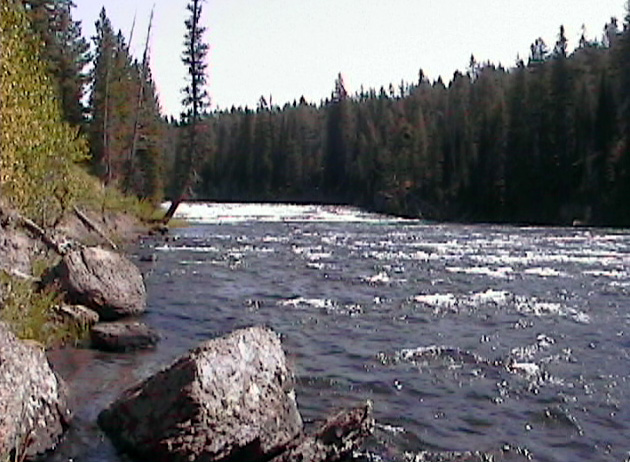
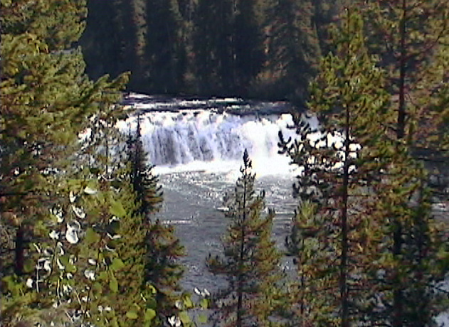
river in this location just below
Cave Falls.
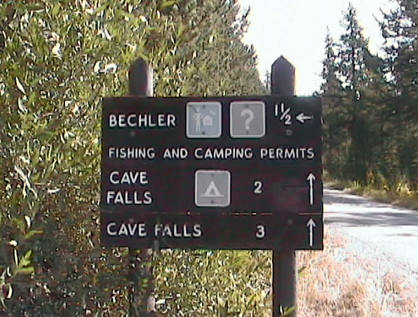
located just inside the park on the
Falls River
be very tricky and on the
dangerous side. The bottom
consist of layered rocks that are
difficult to get around on.
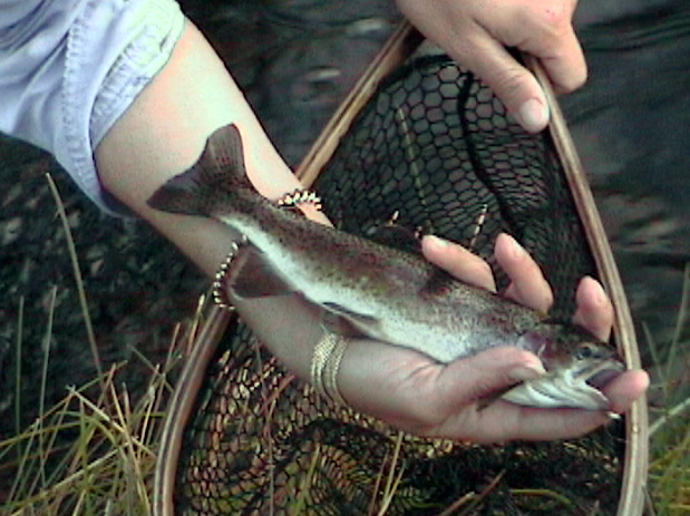
The Fall River flows from the Southwest corner of Yellowstone National Park. To reach all but a small area of the river inside the park, you must hike. The Henry’s Fork of the Snake River steers anglers away from the Fall River, so you probably This river didn’t have any fish until cutthroat were stocked in the early 1900s. Shortly after that (a few years) rainbow trout were introduced. These have interbred and produced the “cutbow”.
The headwaters of the Fall River start at Beula Lake. The upper portion of the River is a mixture of meadows and a canyon sections. Trout is the uppermost section are mostly cutthroat trout. These are 9 to 15 inch fish. Below the section of cascades, Terrace Falls and Rainbow Falls, there are cutbows, cutthroat and rainbows. Much larger fish are found in the meadow section. The fish are mostly rainbows and cutbows. The water in these meadows is slow moving and more difficult to fish because the fish can get a good look at your fly.
Below the meadows, the river flows over a bed of basalt lava for about 6 miles. Wading is difficult in this part of the stream because the rocks are slick. Most of the fish in this section are cutbows.
Access:
The Fall River is accessible from the Ashton-Flagg Ranch Road that intersects Highway #20 near Ashton, Idaho. This is sometimes called the Grassy Lake Road. The Falls River Campground lies just outside the park. The road continues to the Cave Falls Trailhead. From there you can hike up the river for almost a half-mile but to continue, you must ford the Belcher River. This cannot be safely done if the water is high.
The meadow part of the stream can be reached from Reclamation Road about 30 miles west of Aston, Idaho. Follow Fish Lake Road just over a mile to Fish Lake. From here it is a mile to the South Boundary Trail inside the park. Hiking west on the trail will get you to the river just above Mountain Ash Creek’s confluence with the river.
Mountain Ash Creek:
Mountain Ash Creek is a meadow creek for the first mile of so. The next 6 miles the stream flows over a lava rock streambed that is more of a steeper gradient. Cutthroat and cutbows are present. They average 9 to 12 inches, with some larger ones in the meadow sections of the creek.
Proposition Creek:
Proposition Creek is a small tributary to Mountain Ash Creek.
Comments:
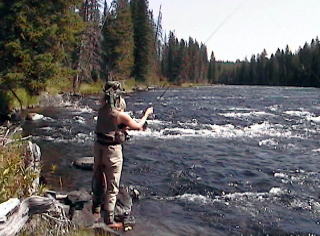
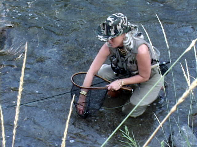
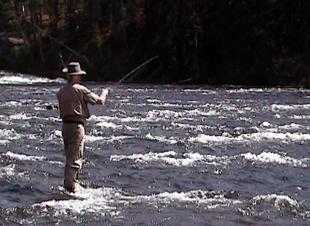
The Fall River is located in a section of the park that is visited by few anglers. The majority of the stream is not easily accessed. Sections of the river offer excellent fly fishing opportunities for those willing to go to the trouble of fishing it.
Copyright 2011 James Marsh